Maps and Visualizations
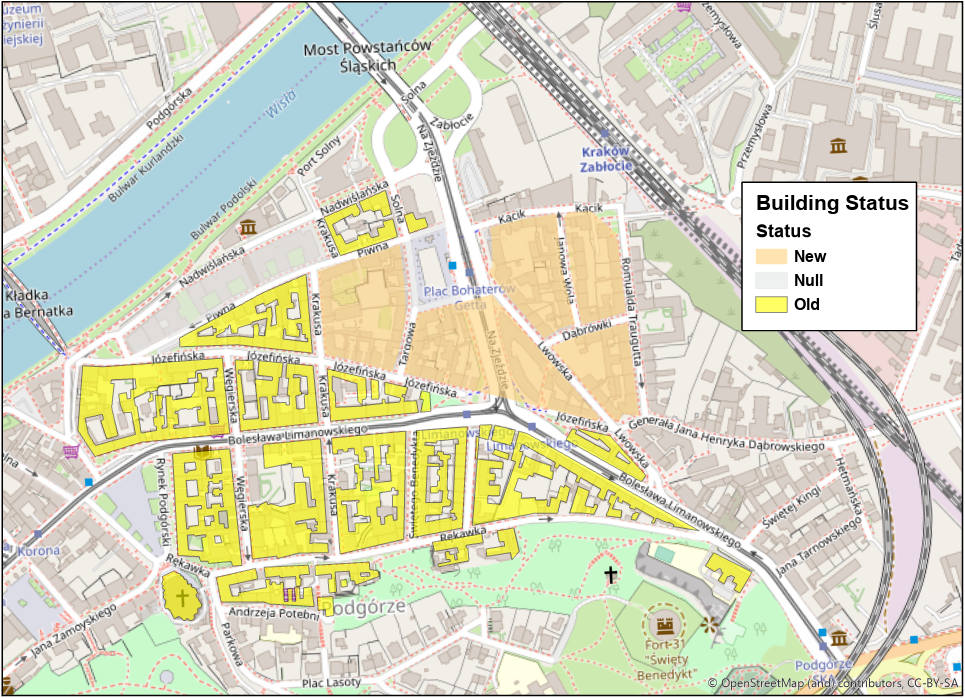
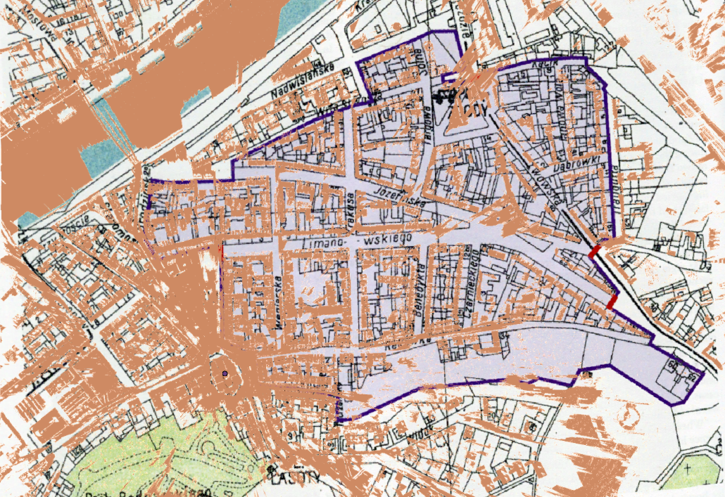
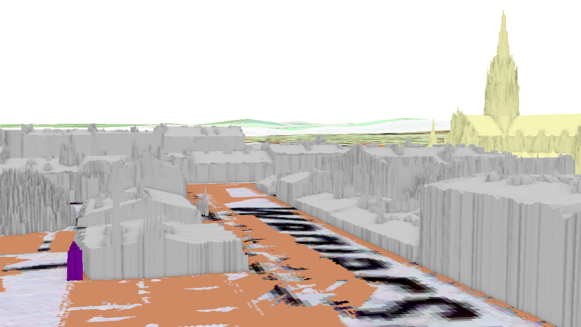
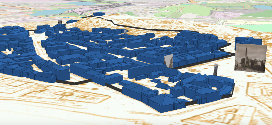
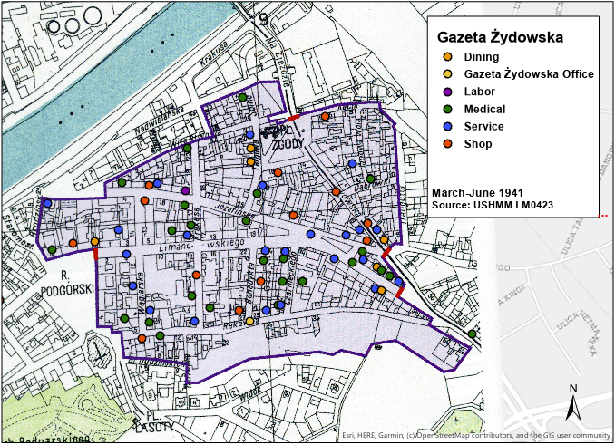
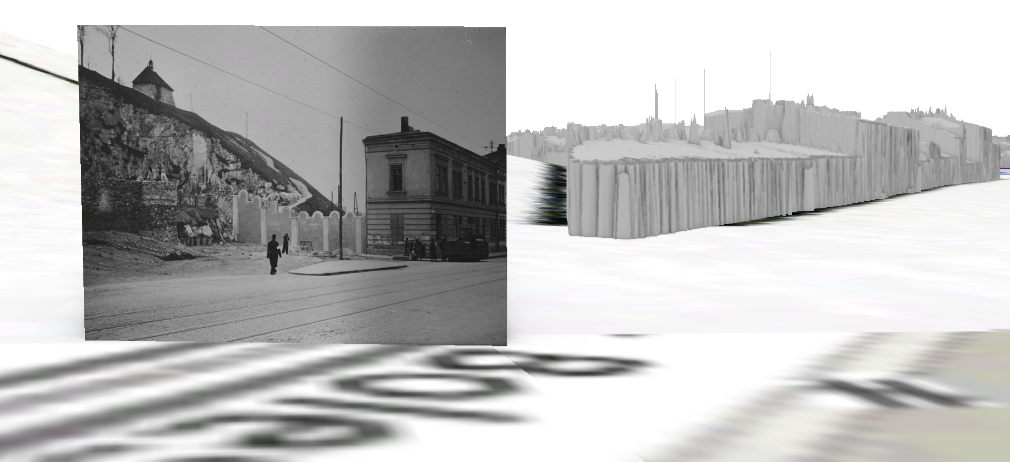
Click the i on the upper left corner for captions or click on in image for a closer look. The following images show the ways 2D and 3D models of the Kraków Ghetto can be iteratively queried to engage with spatial questions about the ghetto. A survivor mentions the looming presence of St. Joseph's Church, from where in the ghetto was the stop of the spire actually visible? Residents created shops and businesses inside the ghetto, were these establishments concentrated in certain blocks or spread throughout? The pliable landscape of a digital environment creates room to look at the form of a place with open ended questions without the restrictions of a more traditional approach of merely what happened and to whom. Through databases and digital tools, material of disparate scale and mediums can be represented together.
